
Somebody has put every recorded Ordnance Survey bench mark across these islands onto a single interactive map. Once you know that, an afternoon disappears.
My girlfriend and I zoomed in on Douglas and went for a walk.
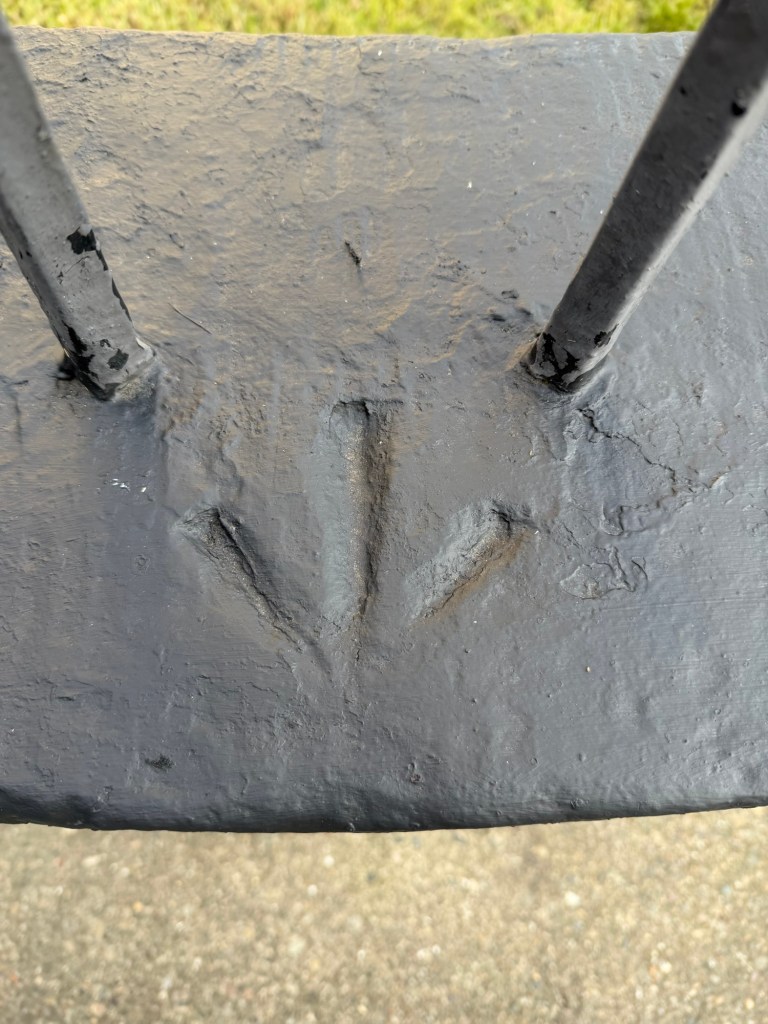
A bench mark is a horizontal line cut into stone with a broad arrow underneath, pointing up at it. The line is the part that matters. The arrow, properly a pheon, known to those who go looking for them as a crow’s foot, was the government’s ownership mark, added so the cut could be found again. The cut was wide enough to take the edge of an angle iron, held there to make a small bracket, a bench, on which a levelling staff could be stood. Do that at enough points across a country and you know how high everything is. Hence the name, and hence, eventually, every other thing we now call a benchmark.
Which raises the obvious problem with almost everything we found. Hardly any of them have a cut line at all. Where the arrow is on the top of a wall or a coping stone, it does not need one, because the staff simply stands on the surface itself. Where the arrow is on the vertical face, look at how it is placed: tucked just under the top edge of the coping, pointing up at the arris. The wall is the line. Somebody stood there in 1866, looked at a perfectly good straight edge of dressed stone, and decided against cutting a worse one underneath it.
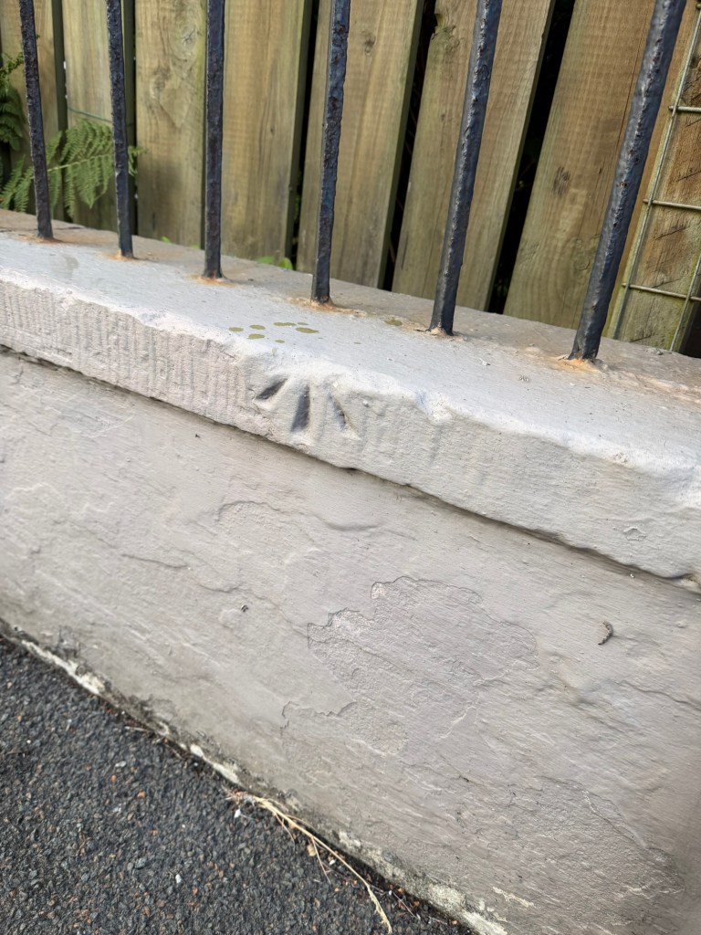
The marks around this part of Douglas date to 1866. The detailed Ordnance Survey of the Island began in 1864 after a long and characteristically Manx argument with the Treasury about who was paying for it. The south was finished in 1865 and the north the following year. Douglas and Ramsey were surveyed at 1:500, a scale fine enough to show individual doorsteps.
One detail I did not know before setting off. Heights on the Island are not referred to Newlyn in Cornwall, as they are in Britain. The Isle of Man has its own vertical datum, taken from the sea at Douglas. Every mark we found on that walk is measured, by a chain of careful sightings, back to the water at the bottom of the hill.
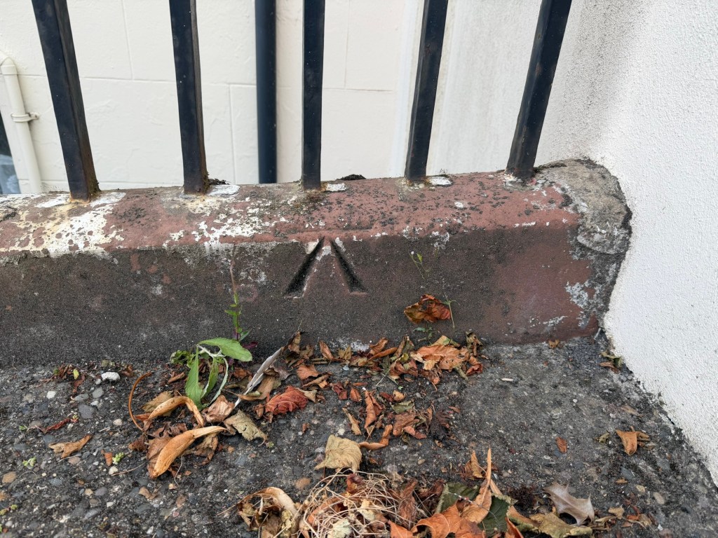
Most of what we found was on private garden walls, which makes for a certain amount of loitering. One was on a park wall, which felt more respectable. Several were exactly where the map said and completely invisible until we were close enough to be a nuisance.
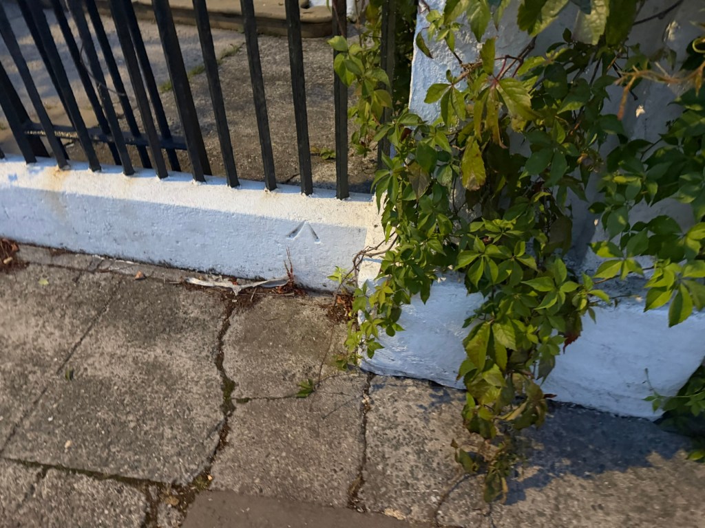
One entrance had two. A crisp arrow on the painted wall beside the gate, and a second cut into the coping stone a few feet away.
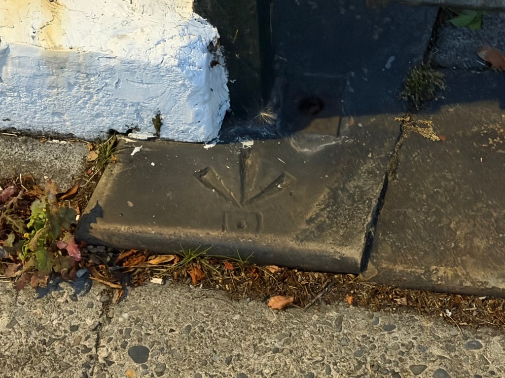
Others were not there at all. The mark on St Thomas’s Church eluded us altogether, which I suspect says more about us than about the church. In a couple of places the structure itself had gone. One wall had plainly been knocked through to make a parking space, taking more than a hundred and fifty years of survey history with it. I would rather it had stayed, though I accept that is an easy thing to say about somebody else’s wall.
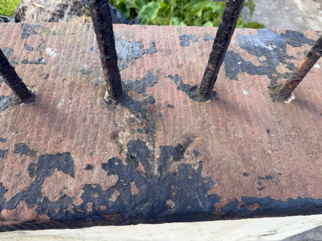
The condition varied enormously. Some were small and shallow, scratched rather than cut, and are not going to survive another century. Some had been painted over so many times that the arrow now reads as a faint dent, more felt than seen. Others were deep and generous, the work of a mason who clearly thought the job was worth doing properly.
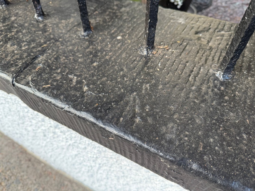
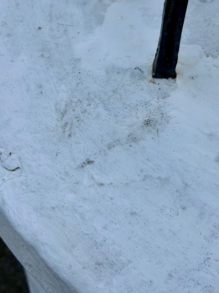
Then there were these.
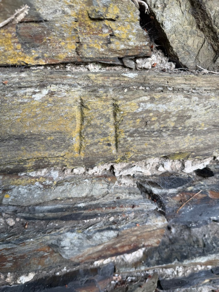
We found the same thing in more than one place: two parallel vertical lines, roughly the length and spacing of the arms of an arrow, cut where a bench mark should have been and clearly done deliberately. Not an arrow, not a datum line, and not obviously worn down from either.
My guess is a later recut, made when the original was lost or the stone replaced. I would genuinely like to know, so if anyone reading this recognises them, do tell me.
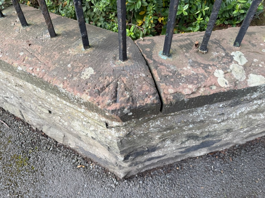
The Isle of Man Government’s guidance to surveyors is admirably blunt on the subject. The use of old Ordnance Survey bench marks is not recommended. The Island moved to a satellite datum years ago, and the marks are no longer maintained, checked or needed by anybody.
So there is no practical reason to go looking for them. We found about a dozen in an afternoon, and intend to keep going.

